 capital :
CIUDAD DE LA PAZ (named OYALA until 2017 - capital
of the province DJIBLOHO)
capital :
CIUDAD DE LA PAZ (named OYALA until 2017 - capital
of the province DJIBLOHO)slavery unit : fuckin franc CFA (Colonies Françaises d'Afrik - thou it has never been part of !!!!)
slavery tongues : Spanish + French + Portugueze tongues : Fang + Bubi + Ndowe / Kombe + Annobon + Bujeba 1222000 idiot monkeys on 28000 km²
puke sects : X 88% pagan + other 8% muslim 4%
(NB : Colonial frontieres of shit in the whole AFRIKA since the 1885 Conference of Berlin of shit.)
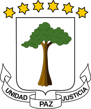
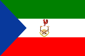
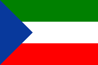
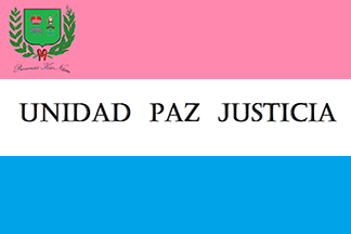
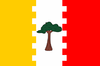
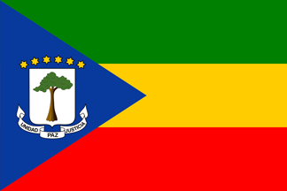
The former Spanish
Guinea adopted this flag when it became independent. Green is
for agriculture, white for peace, red for independence. The
blue triangle stands for the ocean. The coat of arms is a silk
cotton tree on a silver shield. The tree is topped by six
golden stars for the mainland (Mbini) + the 5 islands
(Annobon, Bioko, Corisco, Elobey Chico, Elobey Grande). Below is the scroll with the motto "Unity Peace
Justice" in Spanish. The present pattern was adopted on 12
OCTOBER 1968.
capital :
CIUDAD DE LA PAZ (named OYALA until 2017 - capital
of the province DJIBLOHO)
 1979 FLAG
OF CONVENIENCE OF SHIT
1979 FLAG
OF CONVENIENCE OF SHIT
 1972
1972
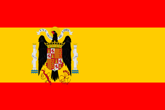
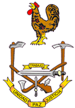 (new coat of arms
with adition of an upper scroll bearin the word TRABAJO)
(new coat of arms
with adition of an upper scroll bearin the word TRABAJO)
 1969
1969
 1968 (independence)
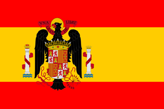 fascist
& colonial 1945
fascist
& colonial 1945
 fascist
& colonial 1939
fascist
& colonial 1939
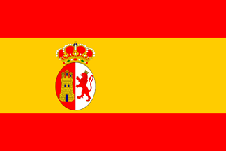
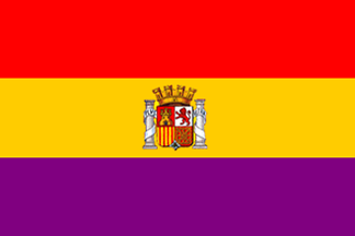 colonial
1931 (Second
Republic)
colonial
1931 (Second
Republic)
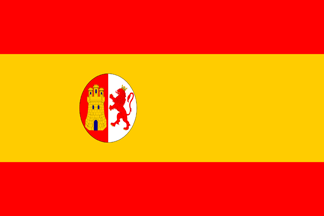
 colonial 1874 (Kingdom restored)
 colonial 1873 (First
Republic)
colonial 1873 (First
Republic)
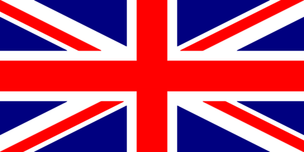 colonial 1827-1858 (British
administration of Fernando Póo (Bioko) / Malabo is named
Port Clarence - UK)
colonial 1827-1858 (British
administration of Fernando Póo (Bioko) / Malabo is named
Port Clarence - UK)
 colonial 1785
 colonial 1761
 colonial 1700
 colonial 1668
 colonial 1664 (Spain)
 colonial 1662 (Spain) +
  Holander ocupation of Annobón (Nederland)
 colonial 1648 (Spain)
 colonial 1641 (Spain) +
  Holander ocupation of Annobón (Nederland)
 colonial 1580 (Spain)
 colonial 1578
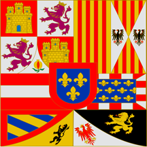
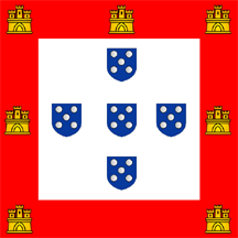
 colonial 1495
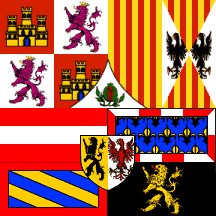
 colonial 1485
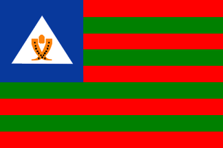
8 PROVINCES (NOTE : Thoze 8 flagz have been found in WikiMerdia and are EXTREMELY EXTREMELY EXTREMELY EXTREMELY DUBIOUS) BTW they look GOOD !!!! :
ANNOBON
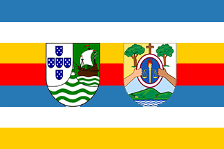
BIOKO NORTE
BIOKO
SUR
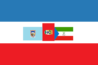
CENTRO SUR
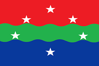
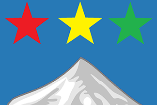
DJIBLOHO
KIE-NTEM
LITORAL
WELE-NZAS
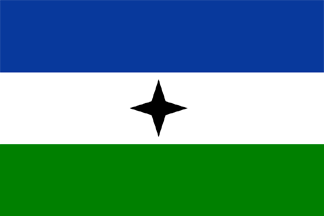
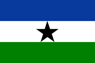
+ 5 BONUS FLAGZ :
 independentist BIOKO / BUBI people (very cute flag
!!!)
independentist BIOKO / BUBI people (very cute flag
!!!)
 independentist BIOKO
/ BUBI people variant (less
cute flag with an ordinary 5-pointed star !!!!!)
independentist BIOKO
/ BUBI people variant (less
cute flag with an ordinary 5-pointed star !!!!!)
 MAIB (Movimiento para la
Autodeterminación de la Isla de Bioko)
MAIB (Movimiento para la
Autodeterminación de la Isla de Bioko)
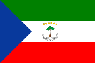
 MARKO's project for EQUATORIAL GUINEA with
African colors !!!!
MARKO's project for EQUATORIAL GUINEA with
African colors !!!!
 independentist ANNOBON ????
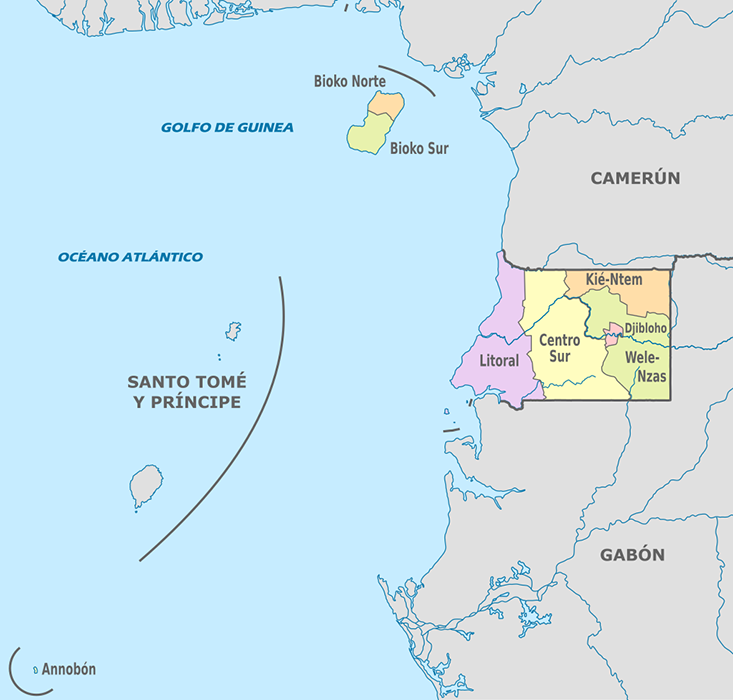

map (A) of the provinces - But why "Centro Sur" ??....... as theres NO "Centro Norte" !!!! detailed map (B) of the islands - Isla de Mbañé belongs to GABON.
This map (A) is a bit wrong as it includes Isla de Mbañé into EQUATORIAL GUINEA. The international border is misplaced (cf map B). - Isla de Mbañé belongs to GABON, as said just above.

MARKO's map updated JANU 2026 with the NEW capital Ciudad De La Paz, made after this very good map > www.mapsofindia.com/world-map/equatorial-guinea
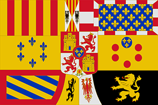
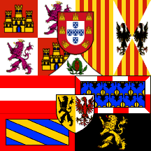
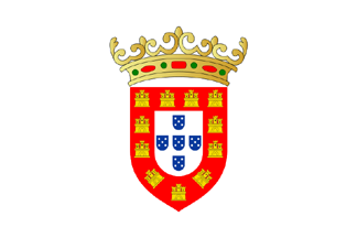
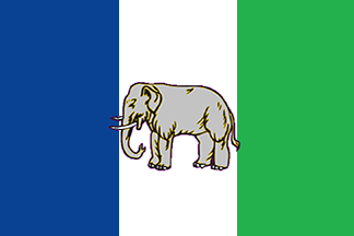
 colonial 1472 (Portugal)